Most mornings, the routine is the same. Coffee in one hand, bike propped by the door, out through one of the Greenwood Drive or Lawton Road entrances before the day gets hot. The plan is always to ride straight through to the Shell Ring, maybe loop past Lake Joe, and be home before the mosquitoes wake up.
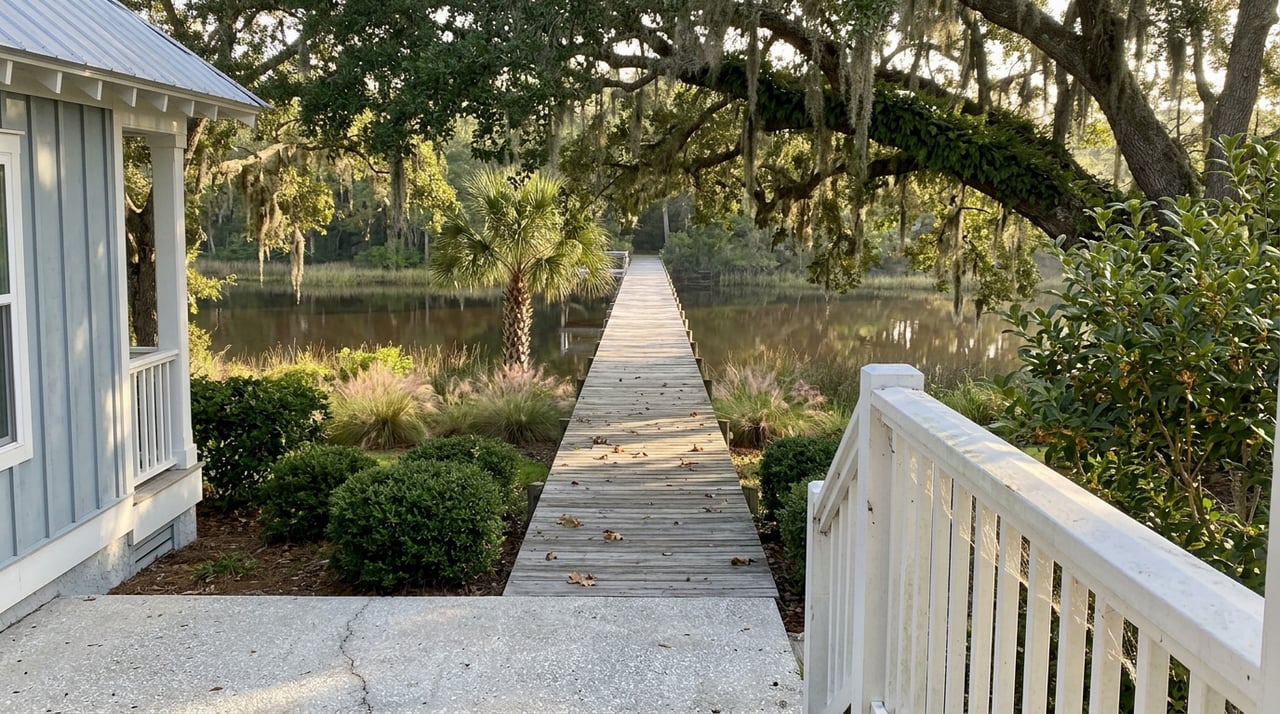
Then the pavement gives way to a bike rack, a hand-lettered sign, and a trail that clearly was not built for wheels. This catches a lot of longtime residents off guard, because the preserve does not advertise itself as two separate places. It is one 605-acre tract with one name and one gate. But it functions as two entirely different trail systems, and knowing which one you are standing on before you commit to a route saves you from walking your bike out the long way.
Where the Bike Ride Actually Stops
According to South Carolina's public trails database, the Sea Pines Forest Preserve holds about two miles of walking and hiking nature trails and roughly six miles of multi-purpose trails. Those are not the same surface with different names attached. The Sea Pines Community Services Associates, the property owners' group that manages the preserve, states it plainly on its own site: bicycles are not permitted on the walking trails, and cyclists are asked to park at the racks provided near the entrances.
That two-mile interior is where the preserve's best-known landmarks sit, and it is walking-only. The six miles of multi-purpose trail, by contrast, is where you can ride, and it traces the wider loops and access roads around the edges. If your usual route has always felt like it dead-ends sooner than expected, this is why. You have been riding the perimeter and hitting the boundary of the walking-only interior without realizing there was a boundary at all.
Why the Split Exists
The preserve's protected status did not start as a marketing feature. Charles Fraser set aside 572 acres of this land as a wildlife habitat back in 1959, years before Sea Pines had the golf courses and resort infrastructure most people associate with it today. By the 1970s, legal covenants had formalized and expanded that original commitment to the 605 acres protected today, the same covenants that still bar homes or commercial buildings from ever being built on the tract.
That history explains the trail split better than any sign at the gate does. The interior was designated first and designated as habitat, not thoroughfare, which is why it stayed foot-and-hoof scale even as bike paths and roads eventually wrapped around it. The preserve grew its bridle paths, boardwalks and fishing docks over the following decades, but the original walking core never got wider.
What the Walking Loop Actually Holds
Inside that two-mile interior, the two named routes are informally called the Blue Arrow Trail, at roughly a mile, and the Orange Arrow Trail, at about two miles and a longer stretch of terrain. Both pass through the same short list of landmarks that make the walking loop worth the extra fifteen minutes on foot.
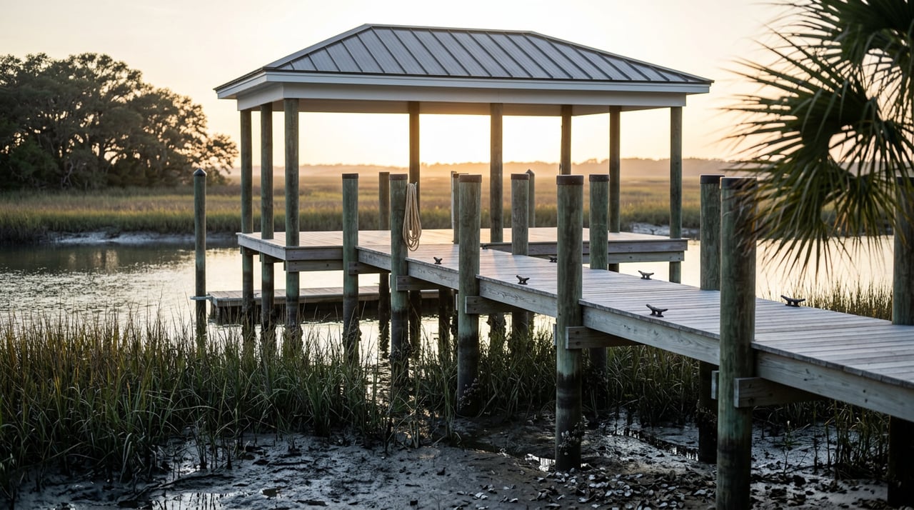
The Shell Ring sits just off the Lawton entrance side, a low ring of oyster, clam and mussel shells built by nomadic people nearly 4,000 years ago and listed today on the National Register of Historic Places. Fish Island, roughly in the preserve's center, holds a covered pavilion with picnic tables and grills that the CSA rents out for private gatherings. The Old Lawton Rice Field has a longer boardwalk with three observation decks looking out over what used to be cultivated rice paddies before 1970, and the Vanishing Swamp boardwalk cuts through a stretch of forest where the water table visibly rises and falls with the season. In spring, the Warner W. Plahs Wildflower Field near one of the lakes fills in enough to justify a special trip on its own.
| Route | Approximate length | Bikes allowed |
|---|---|---|
| Blue Arrow Trail | ~1 mile | No |
| Orange Arrow Trail | ~2 miles | No |
| Multi-purpose perimeter trails | ~6 miles | Yes |
The Lake You Can Fish, With a Permit First
Lake Joe gets the most attention of the preserve's three lakes, partly because it is stocked and partly because it sits along the most-walked stretch of trail. It is not open water for anyone who wanders by, though. Fishing is reserved for Sea Pines property owners, their guests and resort guests, and a permit has to come from the CSA Security Office on Greenwood Drive before you cast a line. Minnow bait is not allowed. If you have lived here a while and never bothered with the permit, it is a small errand that turns an afternoon walk into an actual fishing trip.
What's New Since Last Fall
The preserve is not a static museum piece, and the CSA's own land management notes make that clear. In October 2024, the CSA began reclaiming a former soil storage site along the Fish Island Vehicular Trail, clearing the existing understory, regrading the ground and reseeding it into a new meadow habitat, a restoration the CSA expected to take one to two growing seasons to fully establish. If you have not walked that stretch since before the change, expect open meadow where there used to be bare disturbed ground.
The CSA also schedules prescribed burns near the Shell Ring when weather conditions allow, temporarily closing off that section until the smoke clears and the area resets. It is a small, deliberate reminder that the preserve is actively managed land, not a park that runs on autopilot.
A Preserve That Changes by the Season
The wildlife here responds to the calendar more than most residents notice on a single walk. Alligators are ectothermic, meaning their activity tracks the temperature of the water and air around them. In the height of summer heat, they are more likely to submerge and burrow into the mud to keep from overheating, sometimes staying under for over an hour at a stretch. In cooler months, they are far more visible, sunning openly along the banks of Lake Joe, Lake Mary and Lake Thomas.
The bird population is the preserve's quieter credential. The National Audubon Society designated it an Important Bird Area back in 1998, and more than 200 species have been recorded across its wetlands, pine woods and live oak canopy. White-tailed deer graze the open meadows and grassy stretches, and coyotes occasionally cross the trails, rare enough that most residents who have lived here for years still have not seen one.
None of this requires a special trip or a guided tour to notice. It requires knowing which two miles of trail to walk, and when.
The preserve has been part of daily life in Sea Pines for more than five decades, and it rewards the residents who treat it that way, checking in on the wildflower field each spring, timing a walk for the cooler months when the alligators are easier to spot, noticing when a stretch of trail looks different than it did last year. If you are weighing whether a home near the preserve fits how you actually want to spend your mornings, or you are already here and thinking about what comes next for your property, the Lynne Anderson Luxury Team knows this stretch of Sea Pines from the inside. Schedule a free consultation whenever you are ready to talk through it.